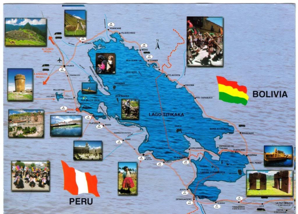
Now, after im done with my philosophies, lets get down to the postcard, which I absolutely LOVE!
Its a map card (sorry, but IS a map card indeed :P) and it shows the Lake of Titicaca, which lies on the border of Bolivia and Peru. It is 3812m above sea level making it the highest commercially navigable lake in the world. By volume of water it is also the largest lake in South America.
Titicaca is notable for a population of people who live on the Uros a group of 42 or so artifical islands made of floating reeds. These islands have become a major tourist attraction for Peru, drawing excursions from the lakeside city of Puno. Their original purpose was defensive, and they could be moved if a threat arose. Many of the islands contain watchtowers largely constructed of reeds.
Yukiko, the sender, says she had visited the Uros island and the Taquille Island as wel, which as she says, has ca. 500 steps to get to the top of it, and that it was exhausting.....hmmm, I can recall several places ive been to, which in order to get to them you need to climb a buuuunch of stairs! But its worth it ;-))
Thanks Yukiko for this terrific card and for all the other cards you had sent me!