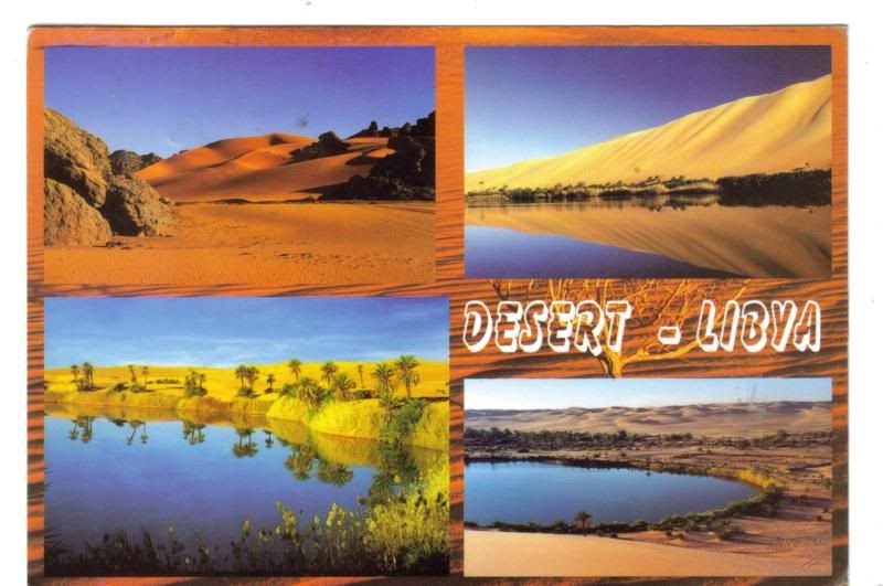
The Libyan Desert is part of the Sahara. It covers some 1,300,000 km2 in Libya, Egypt, and Sudan and consists mainly of gravelly plains, rock outcrops, and vast areas of shifting sand dunes. Elevations generally vary from 150 to 900 m. In the northeast, in Egypt, the Qattara Depression drops to 133 m below sea level - one of the lowest points in Africa.
The Libyan Desert is extremely dry; it often receives no rain for several years at a time. Nomadic herders traverse the region, but permanent habitation is possible only at scattered oases. The northern part of the desert was the scene of intense fighting during World War II.
The desert features a striking diversity of landscapes including mountains like Jebel Uweinat (1980 m), the Gilf Kebir plateau, and sand seas.
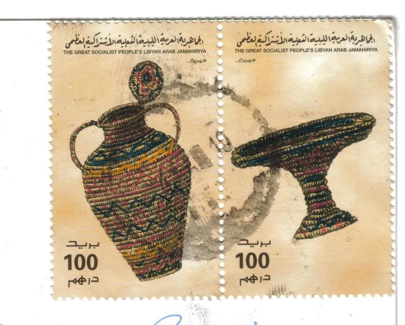
The stamps are from a set of 16 issued in 1996, representing Maghreb Handicrafts
No comments:
Post a Comment